
Interactive Maryland State Map
Maryland has 24 counties, each offering unique geography, population, and local governance. From urban areas like Baltimore County to rural regions such as Garrett County, the state presents diverse landscapes.
This Maryland State Map helps explore county boundaries, major cities, and regional divisions across the state for better understanding clearly.
Maryland Counties Map Overview
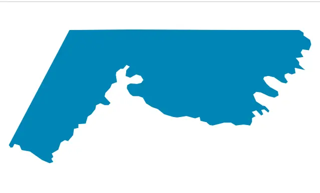
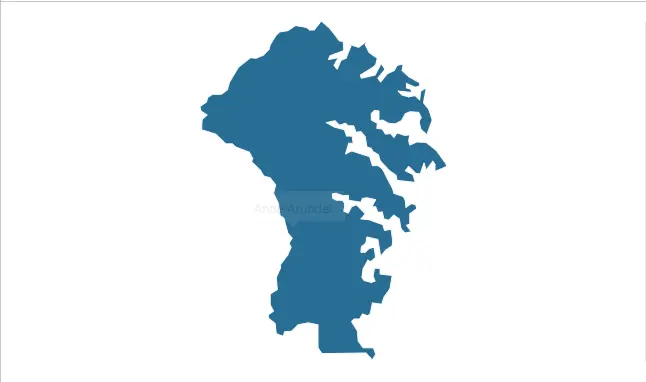
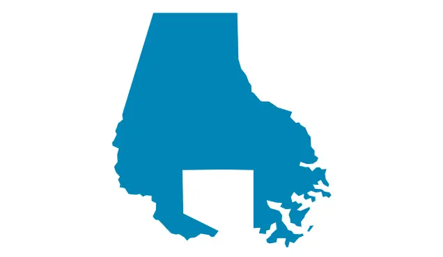
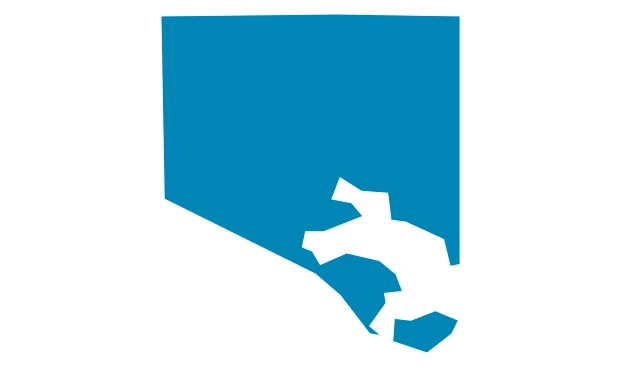
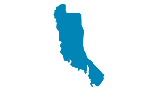
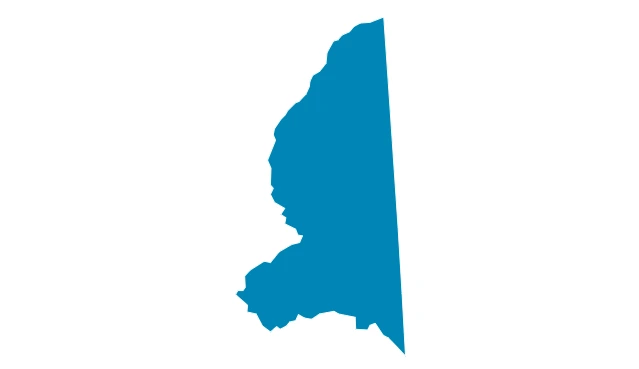
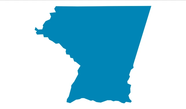
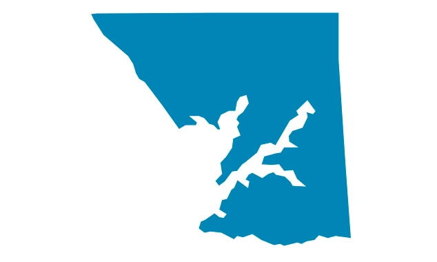
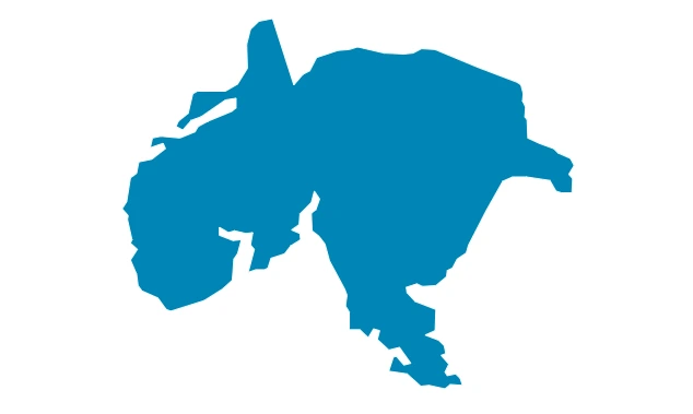
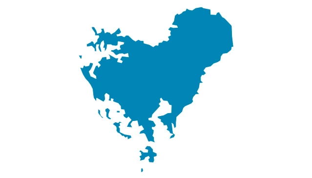
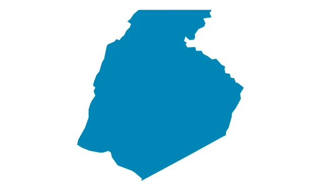
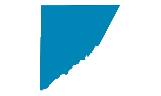
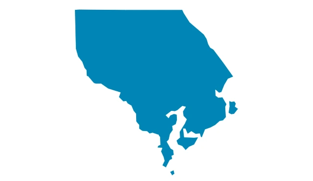
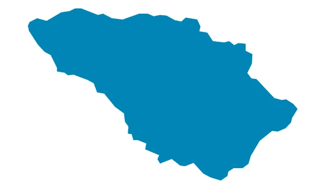
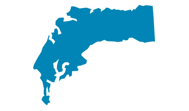
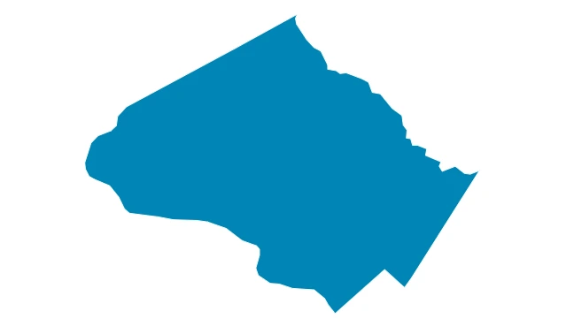
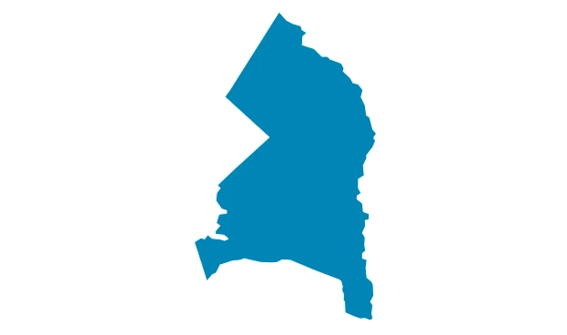
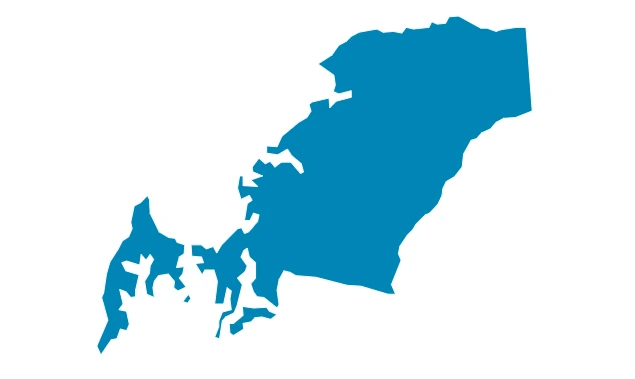
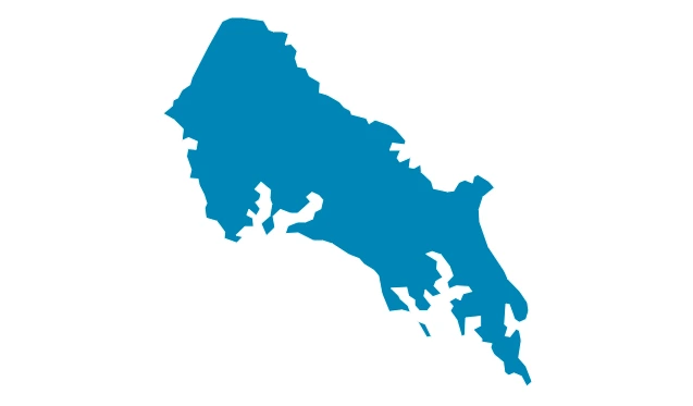
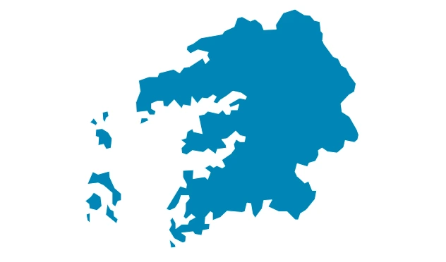
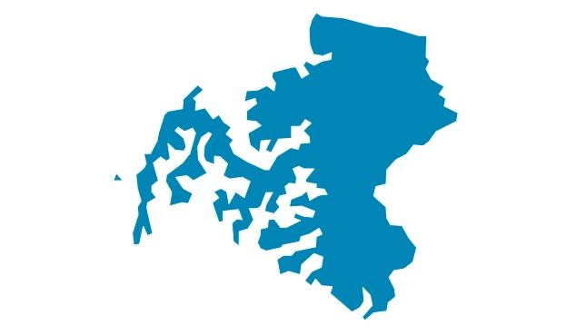
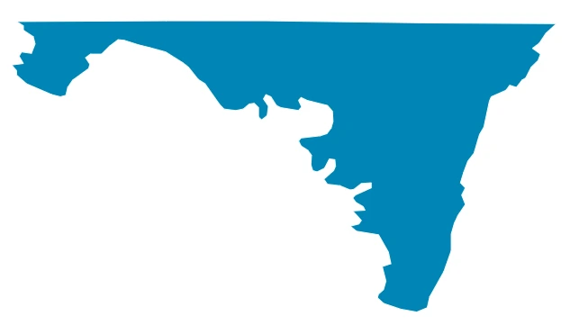
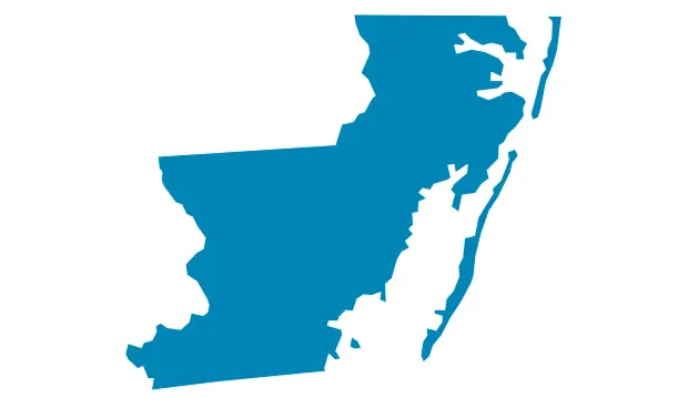
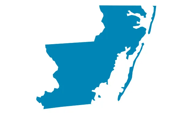
Maryland counties map shows all 24 counties clearly, helping users understand boundaries, locations, and regional divisions across the state visually. If You want to search property record please visit our database click on any county name below.
Maryland State Detailed Overview Table
This table provides key facts about Maryland including area, population, counties, economy, geography, and important state-level information clearly.
| Category | Details |
|---|---|
| State Name | Maryland |
| Abbreviation | MD |
| Capital City | Annapolis |
| Largest City | Baltimore |
| Total Counties | 24 Counties + 1 Independent City (Baltimore City) |
| Total Area | ~12,407 sq miles (32,131 km²) |
| Land Area | ~9,707 sq miles |
| Water Area | ~2,700 sq miles (Chesapeake Bay, Atlantic Ocean) |
| Population | ~6.2 million+ residents |
| Population Density | ~600+ people per sq mile |
| Location | Mid-Atlantic region of the United States |
| Bordering States | Pennsylvania, Delaware, Virginia, West Virginia |
| Water Bodies | Chesapeake Bay, Atlantic Ocean |
| Statehood | April 28, 1788 (7th U.S. state) |
| Time Zone | Eastern Time Zone (ET) |
| Major Industries | Government, healthcare, biotechnology, defense, education |
| Climate | Humid subtropical (east) to humid continental (west) |
| Known For | Blue crabs, Chesapeake Bay, maritime history, ports |
Explore More Maps of Maryland
Explore more maps of Maryland including counties, cities, highways, and regions to better understand the state’s geography and layout clearly.
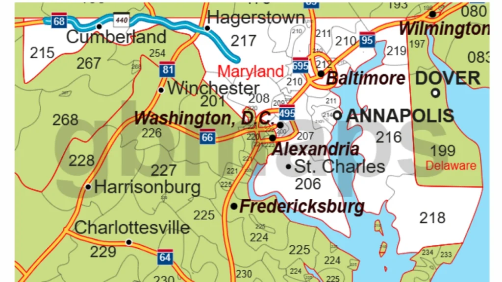
Zip Code Map
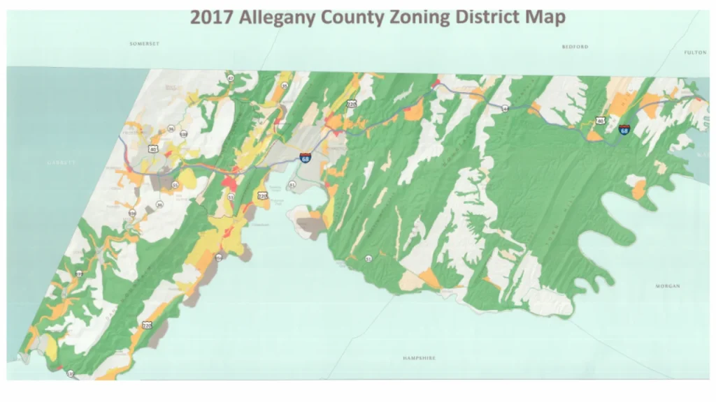
Zoning Map
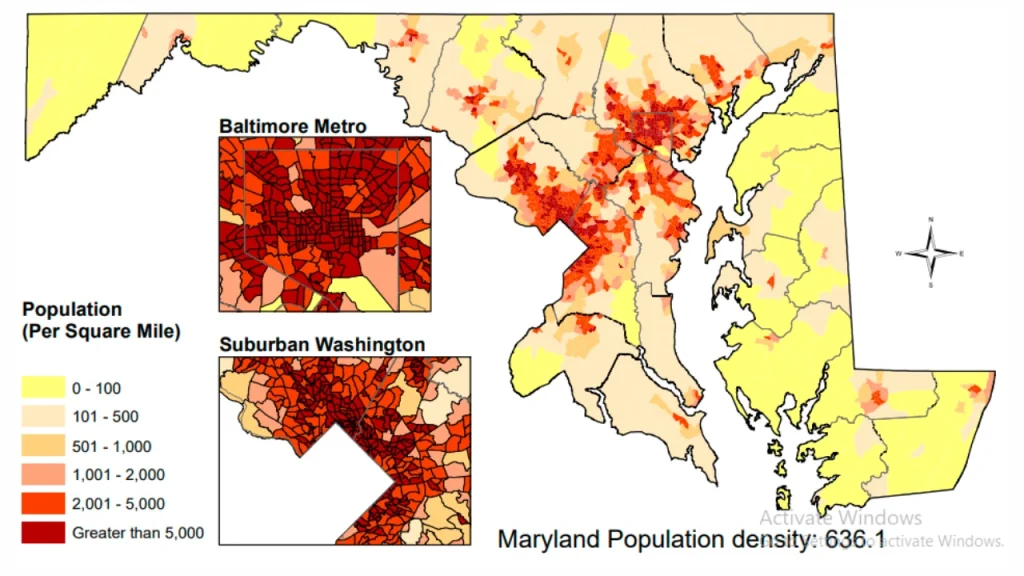
School District Map
FAQ's
How many counties are in Maryland?
Maryland has 24 counties and one independent city, Baltimore City, each with its own local government structure.
What does the Maryland State Map show?
It shows county boundaries, major cities, highways, and regional divisions across the entire state for easy understanding.
Which is the largest county in Maryland?
Frederick County is the largest by land area, offering a mix of rural landscapes and growing urban development.
Why is a Maryland counties map useful?
It helps users understand geography, locate cities, study boundaries, and analyze regional differences across the state easily.
Can I use Maryland maps for real estate or zoning?
Yes, maps like zoning, zip code, and property maps are widely used for real estate planning and location research.